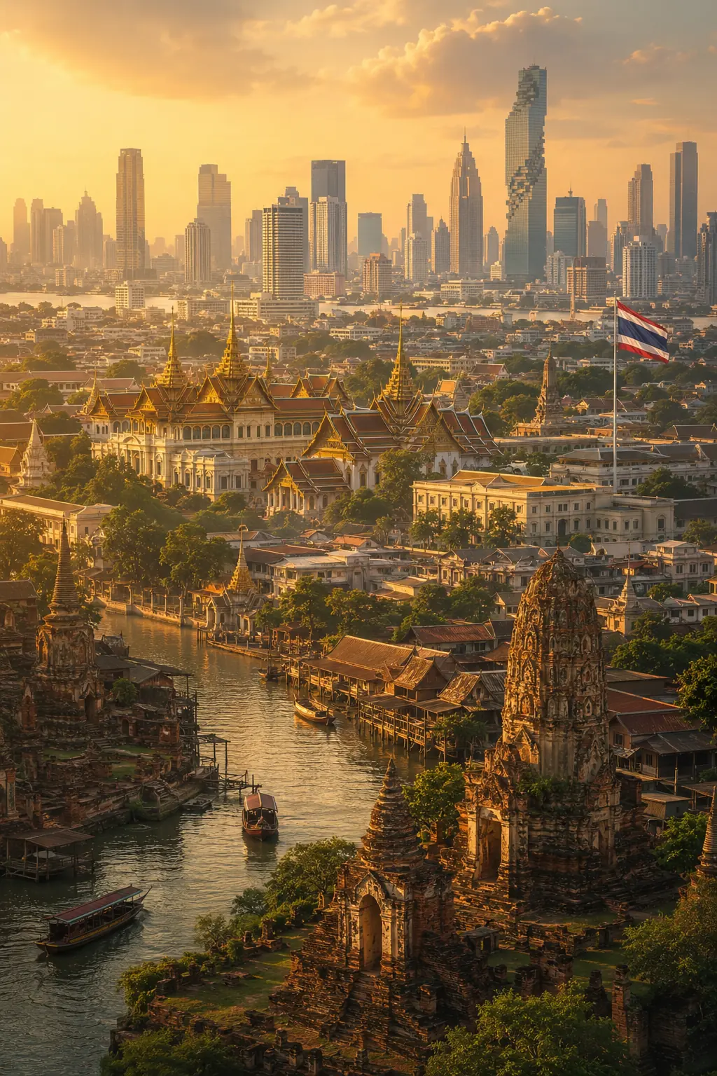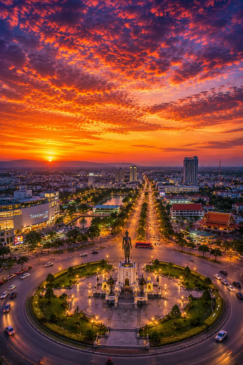
Ask someone in Thailand what Korat is, and one description appears again and again: the gateway to Isaan.
It sounds like a tourism slogan. It is actually geography.
Nakhon Ratchasima — better known as Korat — sits at one of the most important transition points in Thailand. Travel northeast from Bangkok and the landscape changes. The central plains begin giving way to higher ground. Roads and railway lines climb through the approaches to the Khorat Plateau. Beyond Korat lies the immense northeastern region of Thailand: Isaan.
For generations, people, goods and ideas moving between Bangkok and the northeast have passed through this corridor. Then Thailand added railways. Later came modern highways. Trade expanded. Military and logistics networks followed.
And something interesting happened. Korat did not merely become a large city located on the route to Isaan. It became the place where routes met.
That distinction explains much of Korat's modern history — and why a city hundreds of kilometres from Bangkok grew into one of Thailand's most important regional centres.
Geography came first
Long before anyone built railway stations or highways, the landscape had already given Korat an advantage.
Northeastern Thailand is dominated by the Khorat Plateau, a broad elevated region covering much of Isaan. To the west, mountain ranges and higher terrain separate the plateau from Thailand's central plains. That creates a natural transition zone.
Moving from Bangkok toward the northeast is therefore not simply a matter of travelling across a flat map. Historically, travellers had to negotiate the terrain separating central Thailand from the plateau beyond it. Korat sits close to that transition. Once travellers reached the city, the northeast opened before them.
Routes could continue east toward Buriram, Surin and Ubon Ratchathani. Others could turn north toward Khon Kaen, Udon Thani and eventually Nong Khai and the Mekong.
That geographical position was enormously valuable. Korat became not just somewhere along the journey. It became a junction.
A city facing two worlds
One useful way to understand Korat is to imagine it looking in two directions simultaneously. To the southwest lay Bangkok and Thailand's central economic heartland. To the north and east stretched Isaan. Korat connected them.
Agricultural goods produced across northeastern Thailand could move toward central markets through the city. Manufactured goods and other products moving out of Bangkok could pass in the opposite direction. Travellers heading deeper into Isaan naturally encountered Korat along the way.
Over time, services gathered around that movement: markets, warehouses, transport businesses, accommodation, government offices, military facilities. Later came universities, shopping centres, industrial estates and modern logistics operations.
The city's economy benefited not merely from the people who lived there, but from enormous numbers of people and goods moving through it. That is a classic recipe for the growth of a regional city. And Korat had the geography for it before modern transport even arrived.
Then Thailand built the railway
At the end of the nineteenth century, Thailand began building a modern national railway network. One of the earliest and most important objectives was Korat.
Construction of the northeastern railway progressed from Bangkok through Ayutthaya, Saraburi and the difficult terrain toward the plateau. In 1900, regular railway service reached Korat. Nakhon Ratchasima became the terminus of the new northeastern line.
The State Railway of Thailand still describes today's Northeastern Line as running from Bangkok through Nakhon Ratchasima before continuing toward major Isaan cities such as Buriram, Surin, Si Sa Ket and Ubon Ratchathani. At Thanon Chira Junction in Nakhon Ratchasima, another branch runs north toward Khon Kaen, Udon Thani and Nong Khai.
That modern route map reveals something remarkable. More than a century later, Korat still sits at essentially the same railway crossroads.
Korat suddenly became much closer to Bangkok
Before modern transport, travelling between Bangkok and Korat was slow. The arrival of the railway changed distance in a way that is difficult to appreciate today. The number of kilometres did not change. But practical distance did.
Contemporary historical accounts indicate that the Bangkok–Korat railway reduced a journey previously taking around five days to roughly six hours.
For businesses, that was revolutionary. Perishable goods could travel faster. People could make journeys that previously required substantial preparation. Officials could move between Bangkok and the northeast more efficiently. Merchants gained more predictable transportation. Markets became more closely connected.
Korat's geographical advantage had always existed. The railway converted that advantage into something far more powerful.
For twenty years, Korat was effectively the end of the line
There is an especially revealing detail in Korat's railway history. When the railway reached the city in 1900, Korat served as the northeastern terminus for roughly two decades. The railway did not immediately stretch across the whole of Isaan. For travellers arriving from Bangkok, Korat was where the rails stopped.
Imagine what that meant economically. Passengers arrived and needed onward transportation. Goods arrived and had to be transferred. Merchants met transport operators. Warehouses became useful. Hotels and restaurants gained customers. Markets gained traffic.
Whenever one transport system ends and another begins, commercial activity tends to gather around the transfer point. Korat enjoyed precisely that advantage. Later the railway extended deeper into northeastern Thailand. But by then Korat had already gained years of experience as the principal rail gateway to the region.
The railway spreads deeper into Isaan
Eventually the tracks moved beyond Korat. The line toward Ubon Ratchathani developed eastward. Another route branched north toward Khon Kaen and eventually Nong Khai.
Korat's importance did not disappear when it stopped being the terminus. Instead, its role changed. It became a junction. That was arguably even more useful.
Travellers arriving from Bangkok could continue along different branches of the northeastern network. One direction ultimately led toward Ubon Ratchathani. Another led through Khon Kaen and Udon Thani toward Nong Khai.
The basic structure survives today. Look at a modern northeastern railway map and Nakhon Ratchasima remains one of its most obvious pivots. The railway had effectively drawn Korat's geographical role onto steel tracks.
Then came the road revolution
Railways transformed Korat. Roads transformed it again.
Until the 1950s, road travel between central Thailand and the northeast remained much more difficult than today's traveller might imagine. The existing route between Saraburi and Korat was long and could become extremely difficult during the rainy season.
Then came one of the most important road projects in modern Thai history: the Friendship Highway. Built with American assistance during the 1950s, the paved road connected Saraburi with Korat. A
USAID historical study later described it as the first major highway completed under the American aid programme and, for years, the only all-weather road connecting the whole northeastern region with Thailand's central plain and Bangkok.
For Korat, it was transformative. Once again, geography met infrastructure.
A 148-kilometre road with enormous consequences
The Friendship Highway between Saraburi and Korat stretched roughly 148 kilometres. Sections opened during 1957 and 1958. Traffic grew quickly.
According to the USAID historical account, around one thousand vehicles per day were using the route shortly after it opened, making it one of Thailand's busiest roads outside the Bangkok area. Trucks accounted for a large proportion of that traffic.
This was not simply tourists driving to Isaan. It was commerce. Agricultural products moved toward Bangkok. Manufactured goods moved northeast. Trucking companies expanded. Roadside businesses developed. New agricultural land became economically accessible.
Researchers studying Korat's urban development have identified the modern highway connection as a major factor in the city's expansion, reducing travel time and strengthening the movement of agricultural products between the northeast and Bangkok.
Once again, Korat's location turned infrastructure into growth.
Corn, cassava and the highway economy
One of the less obvious effects of better transportation was agricultural. The northeast contains enormous areas of farmland. But producing crops is only economically useful if those crops can reach buyers at a reasonable cost. Better roads changed that calculation.
The Friendship Highway helped lower transportation costs and connect farming areas with Bangkok and export markets. USAID's historical analysis notes that transport costs for corn in areas including Korat fell after the road opened, while the highway contributed to the commercial expansion of crops such as corn, kenaf and later cassava.
That helps explain why transport infrastructure matters far beyond transportation itself. A road can change what farmers choose to grow. It can influence land values. It can create trucking businesses. It can make warehouses profitable. It can encourage factories to locate closer to production areas. And the city standing at the gateway to that network benefits from all of it.
Korat became a logistics city
As Thailand modernised, Korat's role became increasingly obvious. The city stood on the principal land corridor connecting Bangkok with much of northeastern Thailand. Railways passed through it.
Highways converged around it. Military infrastructure added further capacity. Agricultural products moved through the region. Industrial development followed.
Korat therefore became more than a provincial capital. It became a logistics centre.
That word can sound unexciting. But logistics explains cities. Every supermarket shelf, construction project, restaurant, factory and market stall depends on goods moving from somewhere else. Cities positioned where those movements intersect gain enormous advantages. Korat is one of Thailand's clearest examples.
Why didn't another Isaan city become the gateway?
Isaan contains several major cities. Khon Kaen became an important commercial and educational centre. Udon Thani grew into a major northern Isaan hub. Ubon Ratchathani dominates much of the lower eastern northeast.
So why is Korat usually called the gateway? Because a gateway is not necessarily the largest destination beyond it. It is the entrance.
Korat lies closest to Bangkok among the northeast's major cities and occupies the western edge of the broader Isaan region. To reach much of Isaan from central Thailand by land, Korat is the natural first major northeastern city.
That position cannot easily be copied. A shopping centre can be built elsewhere. A university can be built elsewhere. A road can sometimes be redirected. But geography is harder to move.
Highway 2 still tells the story
Today, one of Thailand's major highways continues to demonstrate Korat's role. Route 2 — commonly associated with the Friendship Highway — runs from the central region through Nakhon Ratchasima and onward into northeastern Thailand. From Korat, the road network spreads deeper across Isaan.
Modern travellers may experience that geography without thinking about it. Drive from Bangkok toward Khon Kaen or Udon Thani and Korat feels like a major threshold. Before Korat, the journey climbs toward the plateau. Beyond it, the landscape and road network open across the northeast.
The expression "Gateway to Isaan" therefore remains surprisingly literal.
The junction at Thanon Chira
Rail travellers can see the same logic. Nakhon Ratchasima is served by the northeastern railway network, while Thanon Chira Junction provides the split between important northeastern routes. One branch continues toward the lower northeast and Ubon Ratchathani. Another heads north toward Khon Kaen, Udon Thani and Nong Khai.
That junction is almost a miniature representation of Korat itself. Arrive from Bangkok. Then choose your Isaan. North or east. Korat sits between them.
The city grew around movement
This transport role helps explain why Korat feels different from many smaller provincial capitals. It developed scale. People arrived not only to live but to trade, study, work, transfer between transport services or conduct business.
Regional institutions naturally gravitated toward a city that was easy to reach. Retail followed population. Industry followed infrastructure. Hotels followed travellers. Restaurants followed commercial activity. Universities attracted more people. The city became increasingly self-reinforcing.
Once a regional centre becomes large enough, its size itself becomes an advantage. Businesses want access to its customers. Workers want access to its jobs. Students want access to its institutions. Transport companies want access to its roads. The gateway gradually becomes a destination in its own right.
Korat and the rise of road travel
The twentieth century also changed how ordinary Thais travelled. Railways had once dominated long-distance land transport. The spread of buses, trucks and private cars created a parallel network based on highways.
Korat benefited again. Its road connections allowed buses to operate not only toward Bangkok and other Isaan cities but toward destinations in eastern Thailand as well. The result was a city increasingly connected in several directions rather than simply along one Bangkok–Isaan axis.
That distinction matters. A city connected to one place is dependent. A city connected to many places becomes a hub. Korat became the latter.
Geography created opportunity — Thailand built on it
It would be easy to describe Korat's rise as inevitable. It was not. Geography provides opportunities. Infrastructure determines whether those opportunities are used.
Thailand repeatedly invested in connections running through Korat: first the railway, then highways, then expanded road networks, then modern railway improvements and newer transport projects. Each generation reinforced the city's original geographical advantage.
The result is a pattern visible across more than a century. Transport infrastructure keeps returning to Korat. That is perhaps the clearest evidence that the city's gateway role is more than a slogan.
The gateway is still being reinforced
Korat's transport story is not finished. Thailand continues to invest heavily in rail infrastructure through the northeast. The State Railway of Thailand lists ongoing double-track projects affecting the northeastern corridor and the planned high-speed railway linking Bangkok through Nakhon Ratchasima toward Nong Khai.
Whatever shape these projects ultimately take, the geography remains familiar. Bangkok. Korat. Then deeper into Isaan. New technology is being laid along an old logic.
That might be the most remarkable part of the story. Transport has changed from carts to steam locomotives, diesel trains, trucks and plans for high-speed rail. Korat's position has not.
More than a place you pass through
Tourists sometimes make the mistake of treating gateway cities purely as transit points. That misses what makes them interesting.
Gateway cities often contain layers created by movement. Different foods arrive. Different accents mix. Markets grow. Transport workers settle. Business cultures develop. Visitors come and go.
Korat has spent generations absorbing influences from both Bangkok and Isaan while remaining unmistakably northeastern Thai. That makes the city a kind of meeting point between regions. Its identity was shaped partly by being connected.
Understanding Korat changes how you see Isaan
If you arrive in Korat knowing none of this, the city can simply look large and busy: wide roads, heavy traffic, railway tracks, bus terminals, shopping centres, warehouses, military facilities, universities, industry spreading beyond the centre.
But once you understand the geography, the city begins making sense. The traffic exists because routes meet here. The railway matters because Korat was one of the earliest major endpoints of Thailand's national rail expansion. The highways matter because they helped open the northeast to faster movement of people and goods. The warehouses and industry make sense because Korat sits between producers, consumers and transportation corridors.
What initially looks like urban sprawl is partly the physical footprint of a gateway.
The city at the edge of a plateau
There is a beautifully simple reason Korat became Korat. Look at the map. Bangkok lies to the southwest. The Khorat Plateau stretches away to the northeast. Between them sits Nakhon Ratchasima.
Thailand's railway builders recognised the route more than a century ago. Highway planners reinforced it decades later. Businesses followed. Travellers followed. Trade followed. Modern development followed.
Today, Korat is no longer merely the place where Bangkok ends and Isaan begins. It is a major city in its own right. But its old role remains visible everywhere: in the railway junction, in Highway 2, in the trucks passing through, in the buses heading toward dozens of northeastern destinations.
And in the simple phrase Thais have used for generations: Korat — the Gateway to Isaan.
Sometimes a nickname is marketing. Sometimes it is history written onto a map.