A City Younger Than It Looks
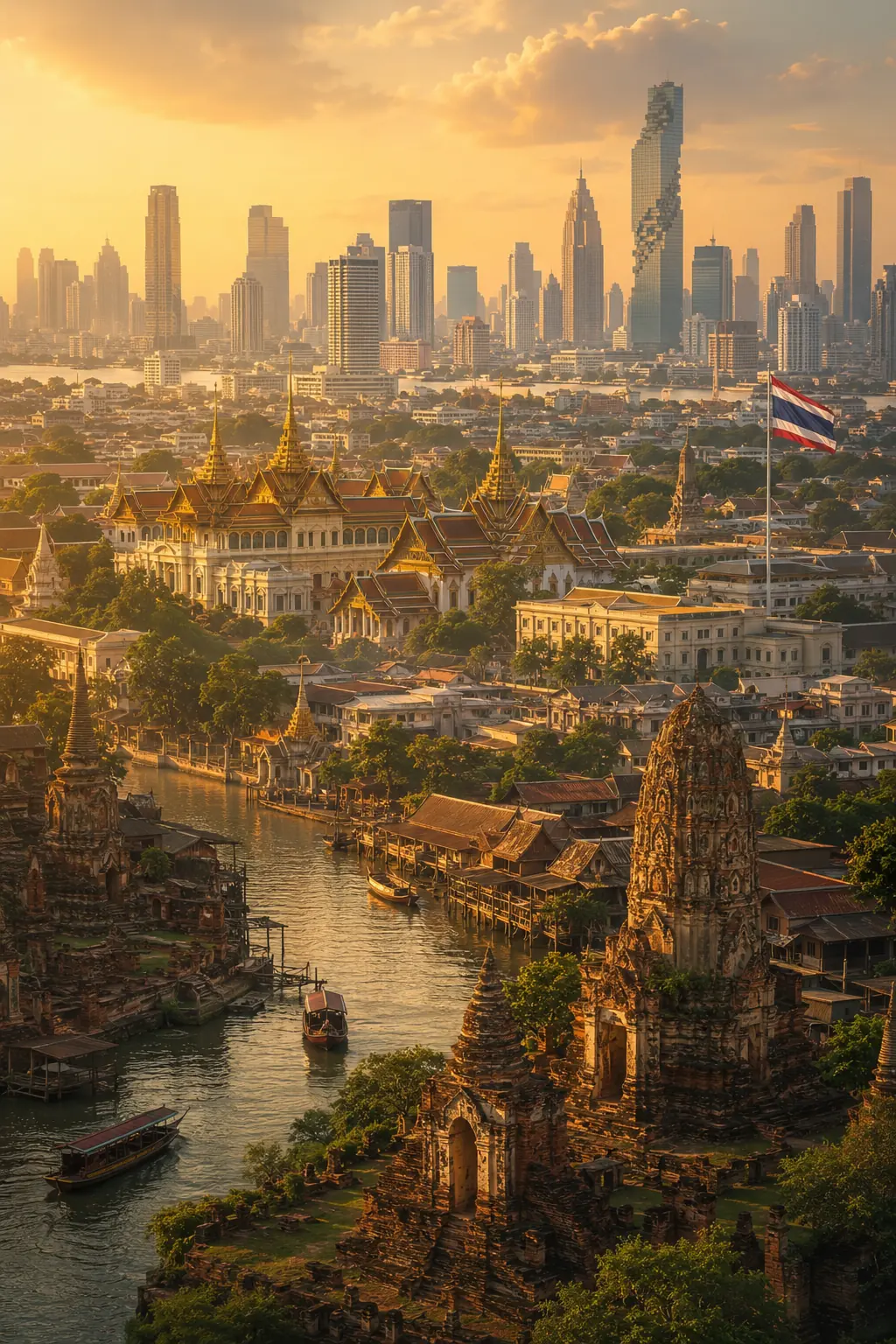
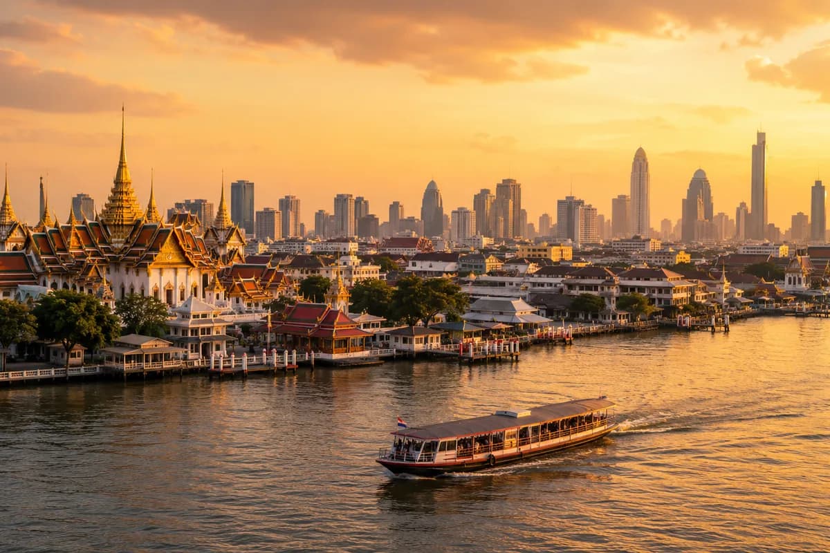
Bangkok can feel like it has always been enormous — expressways crossing above canals, trains threading between glass towers, traffic stretching toward the horizon in every direction. But Bangkok is relatively young as a capital city. It officially became the centre of Siam only in 1782, and its story before that begins quietly, on both banks of the Chao Phraya River, with trading communities, canals, temples and a strategically useful river settlement that gradually grew into one of the largest cities in Southeast Asia. To understand Bangkok, you have to start with the river, because almost everything else about the city follows from it.
Before It Was a Capital
Long before Bangkok held any political importance, the lower Chao Phraya River connected inland Siam with the Gulf of Thailand, and ships travelling toward Ayutthaya passed directly through it. Markets, temples and small communities grew up along the banks simply because the river made the location useful — access to trade, access to the Gulf, access to Ayutthaya upriver. The origin of the English name "Bangkok" isn't entirely certain; one common explanation connects it to an older local name, Bang Makok, with "bang" referring to a riverside settlement and "makok" linked to a local plant or fruit, though other explanations exist too. Thais themselves rarely use the name at all in daily conversation — ask where someone lives and you're far more likely to hear "Krung Thep," meaning roughly City of Angels, part of a ceremonial full name so long it's often cited as one of the longest place names in the world.
During the Ayutthaya period, the area functioned as part of the river approach to the capital, gaining strategic importance because ships travelling between the Gulf and Ayutthaya had to pass through it. Fortifications and customs activity developed along the water, connecting the settlement to international trade long before it became a royal capital in its own right — a reminder that modern visitors, oriented entirely around roads, are seeing a city whose real historical infrastructure was the river and its canals. Boats once carried people, food, building materials, royal processions and commercial goods in a way the modern road map largely hides.
Thonburi and the Recovery After 1767
The decisive turning point came in 1767, when Burmese forces destroyed Ayutthaya after a long war, ending its role as the centre of Siam. King Taksin reunified much of the kingdom remarkably quickly and established a new capital at Thonburi, on the western bank of the Chao Phraya — closer to the sea than Ayutthaya, easier to defend and supply, and a practical choice for a kingdom that urgently needed to rebuild. (Our guide to the rise and fall of Ayutthaya covers that destruction, and what came before it, in full.) Thonburi's most famous surviving landmark, Wat Arun, existed before it became the capital but gained particular importance during this period, its towering prang later becoming one of the defining images of the entire city — a reminder that Bangkok's royal centre once stood on the opposite bank of the river from where it sits today.
1782 and the Founding of Rattanakosin
In 1782, King Rama I founded the Chakri dynasty and moved the capital across the river to its eastern bank, establishing what became the Rattanakosin Kingdom — the traditional foundation date of Bangkok as Thailand's capital, and the dynasty that still occupies the Thai throne today. The eastern bank offered clear strategic advantages: the river itself formed a natural defensive barrier to the west, canals could be dug to protect the new royal city's other sides, and there was simply more room to build a planned royal centre from scratch. (Our guide to the monarchy and Thai national identity covers the Chakri dynasty's founding and its wider significance in more depth.)
The historic heart of the new capital became known as Rattanakosin Island — not a natural island, but an area effectively enclosed by the river on one side and defensive canals on the others. Within it stood the Grand Palace, construction of which began in 1782, designed not simply as a royal residence but as the state's ceremonial centre, and Wat Phra Kaew, home to the Emerald Buddha. Palace and temple standing together symbolised political authority and Buddhist legitimacy in a single, deliberate gesture. (Our guide to Buddhism in Thailand goes deeper into what Wat Phra Kaew and the Emerald Buddha actually mean religiously.)
Building this new capital after one of the most destructive events in Siamese history meant doing more than raising new buildings. Early Bangkok rulers restored texts, supported temples, recreated ceremonies and reorganised government, deliberately carrying Ayutthaya's traditions forward rather than starting fresh — the layout of the royal centre, court traditions, religious patronage and ceremonial culture were all inherited rather than invented, and some physical materials from the ruined old capital were even transported south and reused in the new one.
Bangkok's Chinese Foundation
The site chosen for the new Grand Palace was already partly occupied by a Chinese trading community, which was relocated further south along the river. The district that grew up there became the foundation of Bangkok's Chinatown — meaning Chinese history isn't a side story bolted onto the city later, but something built into Bangkok from the very beginning of the Rattanakosin era. Sampeng developed into a major Chinese commercial district of narrow trading lanes, warehouses and shophouses, helping make Bangkok a genuinely commercial city as well as a royal one. Later development produced Yaowarat Road and the wider Chinatown known today, with its gold shops, food stalls, temples and markets remaining one of the clearest places in the city where that Chinese heritage is still visible. Chinese migration shaped Bangkok's economic life profoundly over the generations that followed — labourers helped build infrastructure, merchants drove trade, and many of Thailand's most prominent business families today trace their ancestry to this same history.
The Canal City
Bangkok became known internationally, somewhat inevitably, as the "Venice of the East" — an exaggerated nickname, but one built on a genuine reality. Canals, or khlongs, weren't decoration; they were roads, drainage systems, trading routes, neighbourhood boundaries and water sources all at once. Boats carried goods and passengers, homes faced directly onto the water, and markets operated from boats moving between them — a way of functioning that's difficult to fully imagine while standing in modern Bangkok traffic.
That began to shift during the 19th century, as foreign residents and international trade increased and road construction gained importance. Charoen Krung, often described as Bangkok's first major Western-style road, opened during the reign of King Mongkut (Rama IV) in the 1860s, and foreign consulates, businesses and communities increasingly clustered around the river and nearby districts. The riverfront became genuinely international — European trading firms opened offices, consulates and embassies appeared, and foreign hotels emerged, including the Oriental Hotel (today the Mandarin Oriental Bangkok), whose history stretches back to this same 19th-century riverfront era and whose guest list once included writers, diplomats and travellers passing through what was already an international node on the map.
Chulalongkorn's Modern City
Under King Chulalongkorn (Rama V), Bangkok modernised rapidly: roads expanded, government institutions changed, railways developed, and public buildings began adopting new architectural influences as the city grew beyond its original Rattanakosin core. The Dusit district developed north of the old city as a new royal and administrative area, its broad roads and palace grounds contrasting sharply with the dense lanes and canals of older Bangkok, while Ratchadamnoen Avenue became one of the city's major ceremonial roads, connecting important royal and government areas with a scale and formal planning very different from Bangkok's older organic street pattern.
Railways changed Bangkok's relationship with the rest of the country, strengthening its position as the economic and administrative centre by connecting the capital more efficiently to the provinces. Hua Lamphong, Bangkok's main railway station, opened in the early 20th century and became one of the city's great transport landmarks, carrying generations of travellers north, south and northeast for decades.
Politics Enters the Streets
In 1932, Siam shifted from absolute monarchy to constitutional monarchy, and Bangkok was the physical centre of that transformation. Government institutions, monuments and public spaces across the capital took on new political meaning, and the city increasingly became not only a royal capital but the arena where modern Thai politics actually played out. The Democracy Monument, built on Ratchadamnoen Avenue, became one of Bangkok's most recognisable political landmarks, and the area around it has since been associated with many of the major public gatherings in the country's political history — a reminder that some of Bangkok's streets function as historical stages as much as transport routes. The country's international name changed from Siam to Thailand in 1939, part of a wider era of nationalism and state modernisation in which Bangkok increasingly represented the modern nation to the outside world.
War, the Cold War and the American Presence
World War II reached Bangkok directly. Japanese forces entered Thailand in December 1941, and Thailand later became formally allied with Japan even as the Free Thai movement worked against Japanese influence from within; the city itself experienced wartime disruption and Allied bombing before the war ended. In the post-war period, Thailand aligned increasingly with the United States through the Cold War, and foreign aid, investment and military cooperation expanded alongside a rapidly growing population and expanding infrastructure — the beginning of Bangkok's transformation into the vast metropolis familiar today. During the Vietnam War era specifically, Bangkok became an important destination for American military personnel on leave, and hotels, bars, restaurants and entertainment businesses grew to serve the resulting demand. Patpong, which had originally developed as an ordinary business district, became internationally associated with nightlife during this same period — for decades afterward, the name Patpong functioned almost as shorthand for Bangkok nightlife internationally. (Our guide to how tourism changed Thailand traces this same period from the perspective of the wider national tourism industry.)
A City Built From Migration
Bangkok's later growth depended heavily on migration from across the rest of Thailand — from Isaan, the north, the south and the central provinces, arriving for education, jobs and opportunity. Construction workers built the modern city; factory workers powered its industry; office workers filled its towers; students filled its universities. The connection with Isaan has been especially significant: Isaan food became everyday Bangkok food, regional accents became part of the city's everyday soundscape, and the sheer volume of Songkran traffic leaving Bangkok each April reveals just how many residents of the capital still consider somewhere else their real home. (Our guide to Isaan explores that migration from the other direction.) Bangkok, as a result, isn't simply a city of "Bangkok people" — someone may have lived there for twenty years and still call Udon Thani home, while another resident is second-generation Bangkok-born, and another comes from a Chinese-Thai family established in the city for generations. Bangkok identity is layered rather than singular, which is part of why the city can feel so different depending on who you ask to describe it.
Traffic, Rail and the Modern Skyline
Rapid growth created one of Bangkok's most internationally famous problems: traffic. Road construction repeatedly struggled to keep pace with the number of vehicles, canals were filled or reduced in importance as the city urbanised, and by the late 20th century Bangkok's congestion had become genuinely notorious. Elevated expressways attempted to move traffic above street level, adding yet another physical layer to a city already built from centuries of overlapping infrastructure.
Rail transit changed the equation considerably. The BTS Skytrain opened in 1999, reshaping central Bangkok almost immediately — areas near stations became more valuable, shopping centres connected directly to elevated walkways, and both commuters and tourists gained a genuine alternative to street-level traffic. The MRT underground system followed in 2004, and later extensions expanded the network into more suburbs and districts, gradually loosening the city's total dependence on roads even as traffic itself remained a constant. Don Mueang, originally a military airfield before becoming Bangkok's main civil aviation hub for decades, was joined in 2006 by the much larger Suvarnabhumi Airport, which became the city's principal international gateway and, along with the Airport Rail Link connecting it to central Bangkok, changed the geography of how visitors first arrive — from the east now, rather than through Don Mueang to the north, though the older airport remains busy through low-cost aviation.
Few cities embraced the shopping mall as completely as Bangkok did. Siam Paragon, CentralWorld, Terminal 21, ICONSIAM and many others became far more than retail space — restaurants, cinemas, meeting points, air-conditioned public squares and transport hubs rolled into one, to the point where a meaningful amount of everyday Bangkok social life now genuinely happens inside them. The Siam district, its shopping centres clustered around major BTS connections, links a highly modern retail identity to the country's own historical name, a piece of overlap Bangkok seems to enjoy rather than resolve. Nearby, Ratchaprasong pairs luxury hotels and office towers with the Erawan Shrine, dedicated to the Hindu deity Brahma, where people pray while elevated trains pass overhead — one of the clearest single images of how comfortably modern Bangkok places religious practice inside extreme commercial development. (Our guide to spirit houses, animism and everyday beliefs explores the Erawan Shrine and similar sites in more depth.)
What Survived, and What Didn't
Development came at a real cost. Canals were filled, historic buildings disappeared, communities were displaced, and traditional wooden architecture declined as road traffic gradually replaced water transport across much of the city. But an extraordinary amount of historical depth survives regardless, scattered through the modern metropolis rather than presented neatly in one place: Rattanakosin's royal core, Thonburi's older canal landscape, Chinatown's markets and shrines, historic churches, Muslim communities, Portuguese-descended communities and centuries-old temples all still exist, if you know roughly where to look. The Kudi Chin area on the Thonburi side captures this multicultural depth particularly well — Thai, Portuguese-descended Christian, Chinese and Muslim communities developed there in close proximity, with Santa Cruz Church standing as one of its most recognisable landmarks, a useful reminder that old Bangkok was never culturally uniform in the way it's sometimes imagined to have been.
The Primate City
Bangkok's economic dominance shaped the whole of modern Thailand. Government, universities, media, corporate headquarters, major hospitals and transport hubs all concentrated there, meaning people seeking real opportunity have historically had to look toward the capital specifically — a pattern urban scholars sometimes describe using the term "primate city," a city disproportionately larger and more influential than any other urban centre in the same country. Whatever the terminology, the underlying reality is obvious to anyone who has travelled between Bangkok and Thailand's other major cities: nothing else in the country approaches its scale of political, economic and cultural concentration, and that concentration has shaped regional identity, migration patterns and inequality across the whole nation. (Our guide comparing north, central and south Thailand explores how that concentration plays out regionally.)
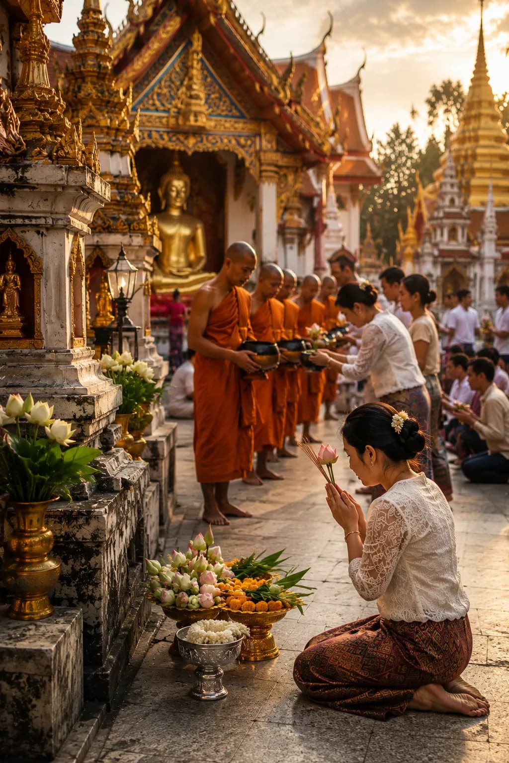
Bangkok inspires genuinely contradictory feelings as a result — opportunity and stress, money and traffic, freedom and loneliness, extraordinary food and constant crowds, often all at once. For many people from the provinces, it's where a career begins; it may equally be the place they eventually dream of leaving. Visitors typically experience a narrow corridor through all of this — airport, hotel, temple, mall, restaurant, next destination — and that Bangkok is entirely real. So is the commuter waking before dawn, the family running a market stall, the student on a crowded bus, and the monk crossing an intersection on the way somewhere ordinary. The city's history lives inside routines like these as much as inside any single monument.
A City of Layers, Not One Plan
The best way to understand Bangkok might be to stop trying to see it all at once, and instead follow the layers individually: start at the river, walk through Rattanakosin, cross to Thonburi, eat in Chinatown, follow Charoen Krung, ride the BTS toward Siam and Sukhumvit, look down from a high-rise, then take a canal boat. Each of those journeys belongs to a genuinely different Bangkok, and none of them is more "real" than the others. The city has been a canal city, a trading city, a royal city, a diplomatic city that remained independent through the colonial era, a railway city, a Cold War city, a tourism city, a traffic city, a rail-transit city and a global city — and none of those earlier versions has fully disappeared, even as newer ones were layered directly on top.
That layering, more than anything else, explains why Bangkok feels the way it does: not chaotic without structure, but built from more than two centuries of separate plans stacked on top of one another, each one shaped by different needs, different eras and different rulers, all still operating simultaneously. The river came first. Everything else simply kept being added to it — which is exactly why a city can be endlessly explored for years and still, occasionally, reveal a neighbourhood nobody mentioned before.